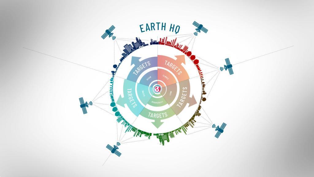
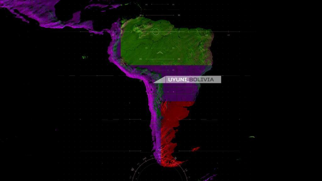
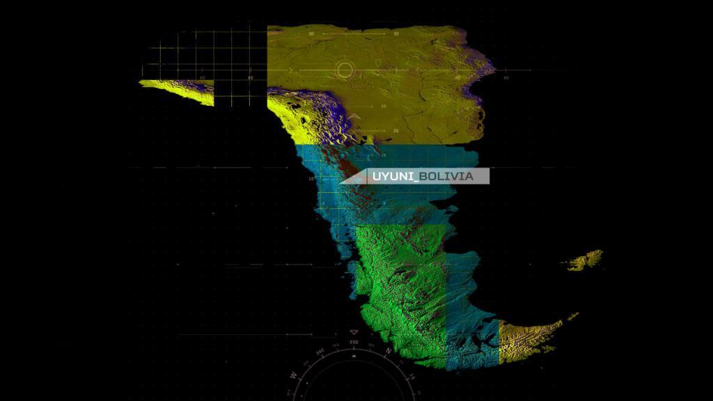
Animated point maps are a powerful way to visualize spatial data, movement, and change over time. This animation demonstrates how point-based mapping can be used to reveal patterns, trends, and geographic relationships that are difficult to see in static maps. By combining motion, timing, and precise geospatial data, animated maps help communicate complex information clearly and engagingly—making them ideal for data storytelling, urban analysis, environmental studies, and interactive cartography projects.